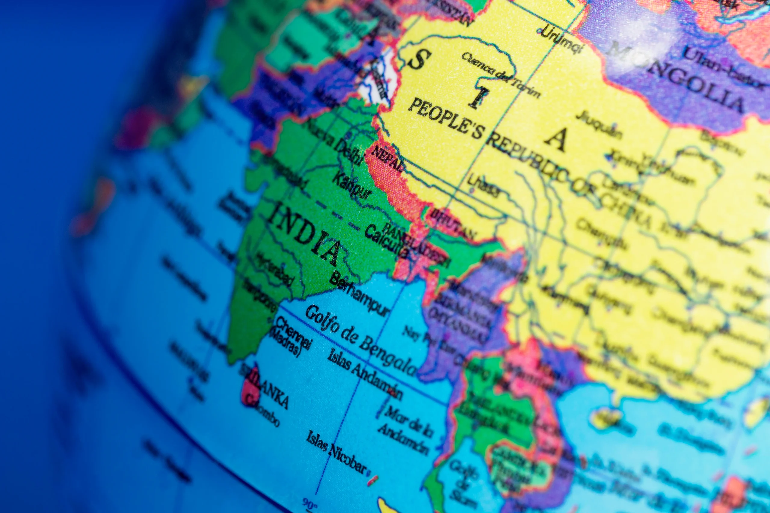
India is a land of diverse landscapes, ranging from towering mountains to vast plains, plateaus, deserts, and coastal regions. Understanding these different regions helps students learn about the country’s geography and natural resources. To make learning easier and more engaging, Physical Features of India Class 9 MCQ provides multiple-choice questions that cover mountains, rivers, plateaus, deserts, and coastal plains. These questions are designed to test your knowledge and help you prepare for exams effectively. By practicing these MCQs, you can strengthen your understanding of India’s physical features, remember important facts, and score better in geography.
Physical Features Of India Class 9 Mcq

- Which mountain range is known as the “Abode of Snow”?
a) Aravalli Range
b) Himalayas
c) Western Ghats
d) Eastern Ghats
Answer: b) Himalayas
- The Peninsular Plateau is mostly composed of which type of rock?
a) Igneous
b) Sedimentary
c) Metamorphic
d) Alluvial
Answer: a) Igneous
- Which desert is located in the northwestern part of India?
a) Thar Desert
b) Rann of Kutch
c) Gobi Desert
d) Sahara
Answer: a) Thar Desert
- The Brahmaputra river flows through which Indian state?
a) Assam
b) Rajasthan
c) Maharashtra
d) Gujarat
Answer: a) Assam
- Which is the longest river in India?
a) Godavari
b) Yamuna
c) Ganges
d) Krishna
Answer: c) Ganges
- The Western Ghats are older than which mountain range?
a) Himalayas
b) Aravallis
c) Vindhyas
d) Eastern Ghats
Answer: a) Himalayas
- The Sundarbans are located in which region?
a) Western Coastal Plains
b) Eastern Coastal Plains
c) Himalayas
d) Deccan Plateau
Answer: b) Eastern Coastal Plains
- Which plateau is known as the “Heart of India”?
a) Deccan Plateau
b) Chota Nagpur Plateau
c) Malwa Plateau
d) Karnataka Plateau
Answer: b) Chota Nagpur Plateau
- Which river originates from the Amarkantak Plateau?
a) Narmada
b) Ganges
c) Brahmaputra
d) Godavari
Answer: a) Narmada
- The Eastern Ghats are mostly:
a) Continuous
b) Discontinuous
c) High snow-capped mountains
d) Desert ranges
Answer: b) Discontinuous
- The highest peak in India, Kangchenjunga, is located in:
a) Himachal Pradesh
b) Arunachal Pradesh
c) Sikkim
d) Uttarakhand
Answer: c) Sikkim
- Which river forms the largest delta in India?
a) Mahanadi
b) Godavari
c) Ganges
d) Kaveri
Answer: c) Ganges
- The Aravalli Range runs in which direction?
a) North-South
b) East-West
c) Northeast-Southwest
d) Northwest-Southeast
Answer: d) Northwest-Southeast
- The Konkan coast is part of which coastal plain?
a) Eastern Coastal Plains
b) Western Coastal Plains
c) Northern Plains
d) None of the above
Answer: b) Western Coastal Plains
- Which plateau is famous for its mineral wealth?
a) Deccan Plateau
b) Chota Nagpur Plateau
c) Malwa Plateau
d) Karnataka Plateau
Answer: b) Chota Nagpur Plateau
- The Rann of Kutch is located in which state?
a) Gujarat
b) Rajasthan
c) Maharashtra
d) Karnataka
Answer: a) Gujarat
- Which mountain range separates the northern plains from the peninsular plateau?
a) Aravalli
b) Vindhyas
c) Satpuras
d) Nilgiris
Answer: b) Vindhyas
- The Deccan Plateau is mostly drained by which river system?
a) Ganga and Yamuna
b) Godavari, Krishna, Kaveri
c) Brahmaputra
d) Narmada and Tapi
Answer: b) Godavari, Krishna, Kaveri
- The Nicobar Islands are part of which Indian union territory?
a) Andaman and Nicobar Islands
b) Lakshadweep
c) Daman and Diu
d) Puducherry
Answer: a) Andaman and Nicobar Islands
- The Western Ghats are a UNESCO World Heritage Site because of:
a) Gold deposits
b) Biodiversity
c) High snow peaks
d) Historical forts
Answer: b) Biodiversity
- The Eastern Coastal Plains are wider in which state?
a) Odisha
b) Tamil Nadu
c) Andhra Pradesh
d) West Bengal
Answer: c) Andhra Pradesh
- The Nilgiri Hills are part of which mountain system?
a) Himalayas
b) Western Ghats
c) Eastern Ghats
d) Aravalli
Answer: b) Western Ghats
- Which river is known as the “Dakshina Ganga”?
a) Godavari
b) Krishna
c) Kaveri
d) Mahanadi
Answer: a) Godavari
- The highest peak of the Western Ghats is located in:
a) Kerala
b) Karnataka
c) Maharashtra
d) Goa
Answer: a) Kerala
- Which is the largest plateau in India?
a) Malwa Plateau
b) Chota Nagpur Plateau
c) Deccan Plateau
d) Karnataka Plateau
Answer: c) Deccan Plateau
- Which river flows through a rift valley?
a) Ganges
b) Narmada
c) Brahmaputra
d) Godavari
Answer: b) Narmada
- The Andaman Islands are closer to which country?
a) Thailand
b) Sri Lanka
c) Myanmar
d) Indonesia
Answer: c) Myanmar
- The Satpura Range lies between which rivers?
a) Narmada and Tapi
b) Ganges and Yamuna
c) Godavari and Krishna
d) Mahanadi and Brahmaputra
Answer: a) Narmada and Tapi
- Which of the following rivers forms a delta known as the Sundarbans?
a) Brahmaputra
b) Ganges
c) Godavari
d) Krishna
Answer: b) Ganges
- The Western Coastal Plains are narrower in which state?
a) Kerala
b) Gujarat
c) Karnataka
d) Maharashtra
Answer: b) Gujarat
- The major physiographic divisions of India are how many?
a) Four
b) Six
c) Five
d) Seven
Answer: b) Six
- The Himalayas are divided into how many parallel ranges?
a) Two
b) Three
c) Four
d) Five
Answer: b) Three
- The Aravalli Range is mainly composed of:
a) Igneous rocks
b) Sedimentary rocks
c) Metamorphic rocks
d) Volcanic rocks
Answer: c) Metamorphic rocks
- Which river forms the Narmada-Tapi valley system?
a) Ganges and Yamuna
b) Narmada and Tapi
c) Krishna and Godavari
d) Mahanadi and Brahmaputra
Answer: b) Narmada and Tapi
- The Deccan Plateau is mostly triangular in shape because of:
a) Rivers surrounding it
b) Mountain ranges surrounding it
c) Coastal plains surrounding it
d) Deserts surrounding it
Answer: b) Mountain ranges surrounding it
- The highest peak of Eastern Ghats is:
a) Mahendragiri
b) Doddabetta
c) Anaimudi
d) Kanchenjunga
Answer: a) Mahendragiri
- The Ganga-Brahmaputra Delta is located in which state mostly?
a) West Bengal
b) Odisha
c) Assam
d) Bihar
Answer: a) West Bengal
- Which river is called the “Lifeline of Madhya Pradesh”?
a) Narmada
b) Tapti
c) Godavari
d) Mahanadi
Answer: a) Narmada
- Which Indian river flows eastwards into the Bay of Bengal?
a) Godavari
b) Narmada
c) Tapi
d) Indus
Answer: a) Godavari
- The Western Ghats influence the climate of which region?
a) Northern plains
b) Western coastal region
c) Desert region
d) Himalayan region
Answer: b) Western coastal region
- Which plateau is rich in coal, iron, and manganese deposits?
a) Deccan Plateau
b) Chota Nagpur Plateau
c) Malwa Plateau
d) Karnataka Plateau
Answer: b) Chota Nagpur Plateau
- Which river flows through the Darjeeling hills and joins the Ganges?
a) Teesta
b) Brahmaputra
c) Yamuna
d) Godavari
Answer: a) Teesta
- The Konkan coast is part of which Indian state?
a) Maharashtra
b) Gujarat
c) Tamil Nadu
d) Odisha
Answer: a) Maharashtra
- The Andaman and Nicobar Islands are part of which tectonic plate?
a) Indo-Australian plate
b) Eurasian plate
c) African plate
d) Pacific plate
Answer: a) Indo-Australian plate
- The Vindhya Range separates which regions?
a) Northern Plains and Deccan Plateau
b) Himalayas and Peninsular Plateau
c) Desert and Coastal Plains
d) Nilgiris and Western Ghats
Answer: a) Northern Plains and Deccan Plateau
- Which river flows through both India and Bangladesh?
a) Ganges
b) Brahmaputra
c) Both a & b
d) Yamuna
Answer: c) Both a & b
- The largest desert in India is located in:
a) Rajasthan
b) Gujarat
c) Punjab
d) Haryana
Answer: a) Rajasthan
- The Himalayas act as a barrier against:
a) Western cyclones
b) Cold winds from Central Asia
c) Indian monsoon
d) Tsunami waves
Answer: b) Cold winds from Central Asia
- Which river forms the Western Ghats’ drainage system?
a) Godavari
b) Krishna
c) Kaveri
d) All west-flowing rivers
Answer: d) All west-flowing rivers
- The plateau region of India is mainly in which direction?
a) North
b) South
c) Central and South
d) East
Answer: c) Central and South
- The Eastern Ghats are mainly located in which states?
a) Andhra Pradesh, Odisha, Tamil Nadu
b) Gujarat, Maharashtra, Karnataka
c) Punjab, Haryana, Rajasthan
d) Assam, West Bengal, Bihar
Answer: a) Andhra Pradesh, Odisha, Tamil Nadu
- The highest peak of the Western Ghats is:
a) Anaimudi
b) Doddabetta
c) Mahendragiri
d) Kanchenjunga
Answer: a) Anaimudi
- Which river is called the “Sorrow of Bihar”?
a) Kosi
b) Ganga
c) Brahmaputra
d) Yamuna
Answer: a) Kosi
- The Godavari river originates from:
a) Western Ghats
b) Eastern Ghats
c) Himalayas
d) Satpura Plateau
Answer: a) Western Ghats
- The Brahmaputra river forms a delta along with which river?
a) Ganga
b) Yamuna
c) Godavari
d) Mahanadi
Answer: a) Ganga
- The Malwa Plateau is located in which state?
a) Madhya Pradesh
b) Maharashtra
c) Gujarat
d) Karnataka
Answer: a) Madhya Pradesh
- The Deccan Plateau is bounded by which mountain ranges?
a) Aravallis and Satpuras
b) Western Ghats and Eastern Ghats
c) Himalayas and Vindhyas
d) Nilgiris and Sahyadri
Answer: b) Western Ghats and Eastern Ghats
- The Andaman Islands lie closer to:
a) Thailand and Myanmar
b) Sri Lanka
c) Indonesia
d) Malaysia
Answer: a) Thailand and Myanmar
- The Western Ghats influence rainfall in which region?
a) Northern plains
b) Western coastal region
c) Desert region
d) Himalayan region
Answer: b) Western coastal region
- Which river forms a natural boundary between India and Bangladesh?
a) Ganga
b) Brahmaputra
c) Teesta
d) Jamuna
Answer: b) Brahmaputra
- Which plateau is called the “Mineral Heartland of India”?
a) Deccan Plateau
b) Chota Nagpur Plateau
c) Malwa Plateau
d) Karnataka Plateau
Answer: b) Chota Nagpur Plateau
- The Himalayan ranges include which three parallel ranges?
a) Himadri, Himachal, Shiwalik
b) Himadri, Satpura, Vindhya
c) Nilgiri, Aravalli, Shiwalik
d) Sahyadri, Aravalli, Eastern Ghats
Answer: a) Himadri, Himachal, Shiwalik
- The Sundarbans are famous for which wildlife?
a) Royal Bengal Tiger
b) Asiatic Lion
c) Indian Elephant
d) Snow Leopard
Answer: a) Royal Bengal Tiger
- Which river flows through a rift valley between Satpura and Vindhya ranges?
a) Narmada
b) Tapi
c) Godavari
d) Krishna
Answer: a) Narmada
- The Northern Plains are formed by which three rivers?
a) Ganga, Yamuna, Brahmaputra
b) Narmada, Tapi, Godavari
c) Krishna, Kaveri, Godavari
d) Mahanadi, Brahmani, Godavari
Answer: a) Ganga, Yamuna, Brahmaputra
- The highest peak in the Himalayas is:
a) Kanchenjunga
b) Nanda Devi
c) Mount Everest
d) Anaimudi
Answer: c) Mount Everest
- The major rivers of the Deccan Plateau flow into:
a) Bay of Bengal
b) Arabian Sea
c) Both a & b
d) Ganga Plain
Answer: c) Both a & b
- The Eastern Coastal Plains are mainly found along:
a) Bay of Bengal
b) Arabian Sea
c) Indian Ocean
d) Gulf of Mannar
Answer: a) Bay of Bengal
- The Rann of Kutch is a:
a) Salt marsh
b) Mountain valley
c) Plateau
d) River delta
Answer: a) Salt marsh
- Which Indian mountain range is considered the oldest?
a) Himalayas
b) Aravalli
c) Western Ghats
d) Eastern Ghats
Answer: b) Aravalli
- The Kaveri River flows through which states?
a) Karnataka and Tamil Nadu
b) Kerala and Tamil Nadu
c) Andhra Pradesh and Karnataka
d) Maharashtra and Goa
Answer: a) Karnataka and Tamil Nadu
- The Himalayas act as a source of which resources?
a) Rivers and minerals
b) Minerals and forests
c) Rivers, glaciers, and forests
d) None of the above
Answer: c) Rivers, glaciers, and forests
- The Andaman and Nicobar Islands are formed due to:
a) Volcanic activity
b) Erosion
c) Glacial deposition
d) Wind action
Answer: a) Volcanic activity
- The Brahmaputra river originates from:
a) Tibet
b) Nepal
c) Sikkim
d) Arunachal Pradesh
Answer: a) Tibet
- The Himalayan region can be divided into how many zones based on height?
a) Two
b) Three
c) Four
d) Five
Answer: b) Three
- The Western Ghats are older than:
a) Eastern Ghats
b) Himalayas
c) Aravalli
d) Satpuras
Answer: b) Himalayas
- The Godavari river flows eastwards into:
a) Arabian Sea
b) Bay of Bengal
c) Indian Ocean
d) None of the above
Answer: b) Bay of Bengal
- The Northern Plains of India are also called:
a) Gangetic Plains
b) Deccan Plateau
c) Coastal Plains
d) Desert region
Answer: a) Gangetic Plains
- The Indian Desert receives rainfall mainly during:
a) Summer monsoon
b) Winter
c) Post-monsoon
d) None
Answer: a) Summer monsoon
- The highest mountain peak of the Eastern Ghats is located in which state?
a) Odisha
b) Andhra Pradesh
c) Tamil Nadu
d) Karnataka
Answer: b) Andhra Pradesh
Wrapping Up
Learning about India’s diverse landforms is important for understanding its geography and natural resources. The Physical Features of India Class 9 MCQ helps you revise key topics like mountains, rivers, plateaus, deserts, and coastal plains in an easy and effective way. Practicing these questions improves your knowledge, sharpens your memory, and prepares you well for exams. By going through these MCQs, you can quickly identify important facts and gain confidence in answering geography questions. Regular practice ensures you remember the physical features of India and strengthens your overall understanding of the country’s natural landscape.